

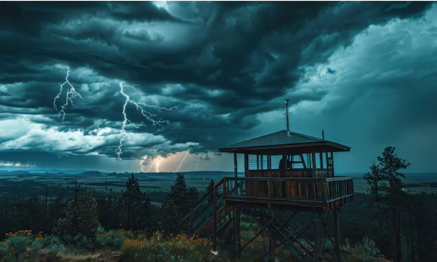
Every spring, weather lovers head out to the central US hoping to catch towering supercells and dramatic thunderstorms in action. Most people connect all that to Tornado Alley, sure, but not many actually know about one of the key ingredients behind it, the dryline. For meteorologists and pros running Storm Chasing Tornado Alley trips, drylines are honestly one of the most closely watched features out there, because they’re often what sets the stage for severe storms in the first place.
If you’ve ever wondered why so many Storm Chasing Tours USA center around the Great Plains, the dryline’s usually a big part of the answer.
What Is a Dryline?
A dryline is basically a boundary separating two totally different air masses. On one side, warm, humid air is pushing north from the Gulf; on the other, hot, dry air is rolling in from the higher ground out west. Unlike a cold or warm front, a dryline’s defined by a sharp moisture contrast, not temperature. That contrast creates instability, which can help kick off thunderstorms once the rest of the conditions line up.
Why Drylines Matter
Drylines matter because they help lift warm, moist air into the atmosphere. As that air rises, it cools, condenses, and clouds start growing fast. Throw in enough instability and wind shear, and these storms can organize into full-blown supercells, capable of large hail, damaging winds, and sometimes tornadoes. For chasers, spotting where the dryline sits is usually one of the very first steps in planning out the day’s route.
Where Drylines Are Most Common
You’ll mostly see drylines across the Great Plains during spring and early summer. They tend to show up in:
- Texas
- Oklahoma
- Kansas
- Eastern Colorado
- Western Nebraska
These states get their reputation for severe weather precisely because moist Gulf air keeps colliding with dry continental air out there. That’s exactly why Storm Chasing Tornado Alley trips tend to focus on these regions during peak season.
Why Storm Chasers Monitor Drylines
Chasers start every morning digging through weather models, satellite images, and surface data, trying to pin down where that dryline actually sits. The problem is, it never really stays put. As temperatures climb and wind shifts, the dryline can move east or west, which changes exactly where storms are most likely to fire up. That’s why guides on Storm Chasing Tours USA keep updating forecasts constantly and often adjust the day’s route to stay close to wherever conditions look best.
A Dryline Doesn’t Guarantee Storms
Just because there’s a dryline doesn’t mean severe weather’s automatically coming.
There’s more that needs to line up too, like:
- Strong atmospheric instability
- Adequate moisture
- Wind shear
- A lifting mechanism
- Favorable upper-level winds
Miss even one of these, and a storm might just stay weak or not develop at all.
That kind of uncertainty is honestly a big part of why weather forecasting stays both tricky and genuinely interesting.
Watching Storms Take Shape
One of the coolest moments during a chase is watching clouds actually start building right along the dryline. Small cumulus clouds can grow into towering storms pretty fast as rising air keeps feeding them. If conditions stay favorable, those storms can organize into rotating supercells that end up dominating the whole sky.
Even without a tornado showing up, watching that transformation happen live is genuinely something else.
Drylines and Storm Safety
Understanding drylines isn’t just a forecasting tool; it actually makes storm chasing safer, too. Knowing where storms are likely to build lets guides position themselves well ahead of time, before things really get going. That gives everyone better views while still leaving room to react if the storm shifts or intensifies faster than expected.
That kind of prep is exactly why guided tours put as much focus on forecasting as they do on the actual chase.
Why This Knowledge Enhances the Experience
A lot of travelers join these trips just hoping for dramatic weather, but understanding the science behind it honestly makes the whole thing feel richer. Once you get how drylines actually influence storm development, you start appreciating the calls guides make throughout the day a lot more. It turns the trip from just watching storms happen into actually understanding why they’re forming right where they are.
Final Thoughts
Drylines are one of the defining features behind severe weather across the Great Plains, and they play a huge role in shaping a lot of Storm Chasing Tornado Alley trips. By bringing together two clashing air masses and setting up the right conditions for powerful storms, they explain a lot about why this region sees some of the wildest weather on the planet.
For anyone joining Storm Chasing Tours USA, understanding what a dryline actually does adds a whole new layer of appreciation for the science, forecasting, and planning behind every successful chase.
